The City of Surrey’s contentious Redwood Heights Neighbourhood Concept Plan (formerly known as Grandview Heights 4) won’t be moving ahead until a comprehensive study of transportation demands in the entire Grandview area is complete.
That work – according to city staff – will help determine both the nature of infrastructure needed and the timing of the interconnected NCPs in the area.
The plan – which would open up a predominantly rural area of South Surrey for high-density residential development – was the subject of controversy at the time the Stage 1 land-use concept was approved by council in October 2013.
Some residents expressed concern about the density of development – even though plans include preservation of a wildlife corridor and ‘hub’ – and both Coun. Judy Villeneuve and then-Coun. Barinder Rasode voted against approving the land-use concept, arguing that developing the NCP would be “premature” while other, longer-established plans languish in Newton and Cloverdale.
But Philip Bellefontaine, Surrey’s transportation planning manager, said the current Stage 2 examination of infrastructure and transportation servicing for the plan won’t be complete until this October – and will still be very preliminary.
“We hope (at that time) to be able to start sharing the results of the additional work we’re doing and take the opportunity to report back on the status,” he said Thursday.
Even then, study findings will have to be reviewed by the provincial Ministry of Transportation and Infrastructure before actual development of the plan can start.
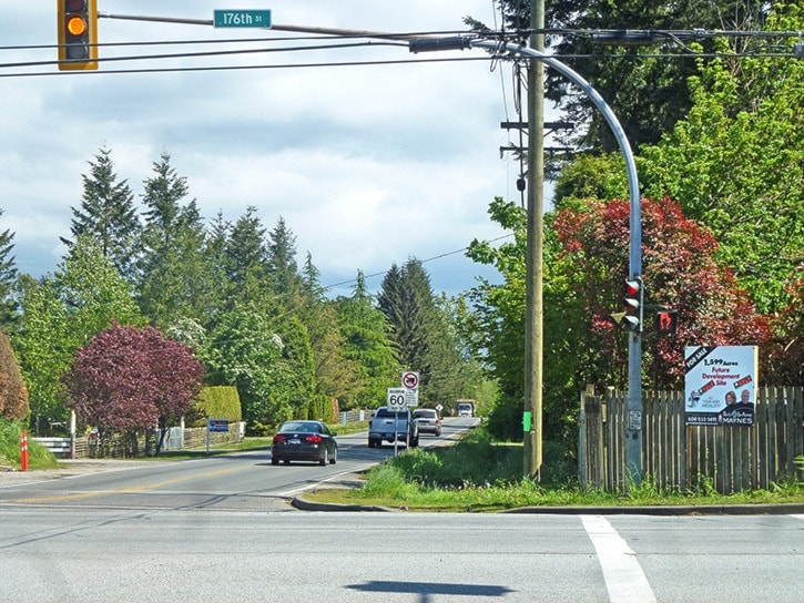
The Redwood Heights NCP area is a wedge of land between 20 and 32 avenues, bounded on the east by 184 Street and a diagonal border along McMillan Road to 32 Avenue. But on the west, the boundary is 176 Street – Highway 15 – which places it under the jurisdiction of the ministry.
Indeed, any future development within 800 metres of Highway 15 would require a ministry signoff, Bellefontaine acknowledged.
A preliminary report on traffic demand generated by a fully developed Redwood Heights NCP – and other regional traffic projections – already suggests 176 Street would need to be widened; that it would need to have additional connector roads and that the intersection at 24 Avenue would need a major upgrade with multiple left-turn lanes.
Current study, Bellefontaine said, is aimed at identifying and analyzing potential major infrastructure that would be needed to offset the traffic impacts.
Widening 176 Street, for example, would have “a significant cost,” he said, which would also include “additional property that would be required.”
The overall traffic study underway by the engineering department takes in the area bounded on the north by 40 Avenue, on the east by 196 Street, in the south by 0 Avenue, and in the west by King George Boulevard.
Bellefontaine described looking at the bigger picture as “a more comprehensive, holistic approach to the planning of the area.”
It’s part of a 10-year plan, he said, which not only creates an overall vision of work that needs to be done but also “tells us whether it’s a short-term, medium-term or long-term project.”
Bellefontaine said the city has developed a “tentative outline” of further meetings with the Redwood Heights Citizens Advisory Committee, the first planned for June.
CAC member Avtar Johl, who represents the Platinum Group, among principal land-holders in Redwood Heights, said most of the CAC are interested in having the NCP move forward.
“Everybody would like to see progress,” he said. “Obviously, we want to do the plan right – if it takes time, it takes time.”
Johl said there would “definitely” be a public open house as part of sharing Stage 2 information at the end of this year.