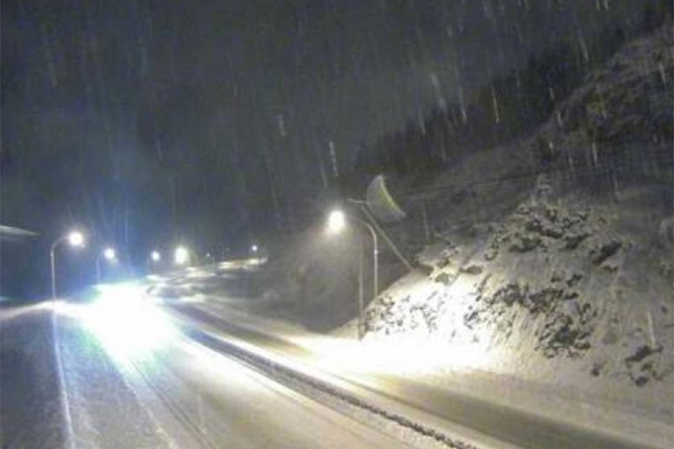
Periods of heavy snowfall continue for the Coquihalla Highway from Hope to Merritt.
A winter storm warning put into effect by Environment Canada Tuesday, Dec. 17 said that a moist Pacific frontal system will finally move inland early this morning. In its wake, a strong southwest flow will send waves of moisture across the Coast Mountains over the next 36 hours.
“Approximately 17 centimetres of snow fell near the Coquihalla summit last night. The snow is expected to ease later this morning but will then re intensify near midday as the next wave approaches. Additional snowfall amounts of 15-20 cm are forecast by late this afternoon,” Environment Canada said.
Related: Snowfall warning for Coquihalla, B.C. highways
Related: Weekly weather update
Periods of heavy snow will continue tonight and further amounts are likely to exceed 15 cm bringing total storm accumulations into the 40 to 50 cm range before snow eases off on Wednesday.
Highway 3 is also under a snowfall warning from Hope to Princeton via the Allison Pass. Environment Canada is calling for up to 25 cm of snow.
The Trans-Canada Highway from Eagle Pass to Rogers Pass will also see up to 25 cm of snow and is under a snowfall warning.
“Rapidly accumulating snow will make travel difficult. Prepare for quickly changing and deteriorating travel conditions.”
Weather in the mountains can change suddenly resulting in hazardous driving conditions.
Environment Canada suggests motorists adjust to winter driving behaviour and use winter tires and chains.
Current road conditions are available at www.drivebc.ca.
@VernonNews
newstips@vernonmorningstar.com
Like us on Facebook and follow us on Twitter.